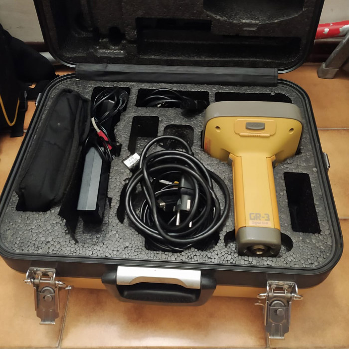
Satellite positioning
Topcon GR-3 GNSS
Topographic surveys and georeferencing of investigations and surveys, with centimetre accuracy.

MGM Servizi Geologici · Surveys and investigation plan
We plan the investigation campaign, carry it out with our own staff and equipment, process the data and deliver the report. With no intermediaries.
With the Topcon GR-3 GNSS receiver we determine the position of ground points with centimetre accuracy, using the satellite constellations (GPS, GLONASS and others).
We use it for topographic surveys, to georeference investigations and drone and laser-scanner surveys, and for setting out.
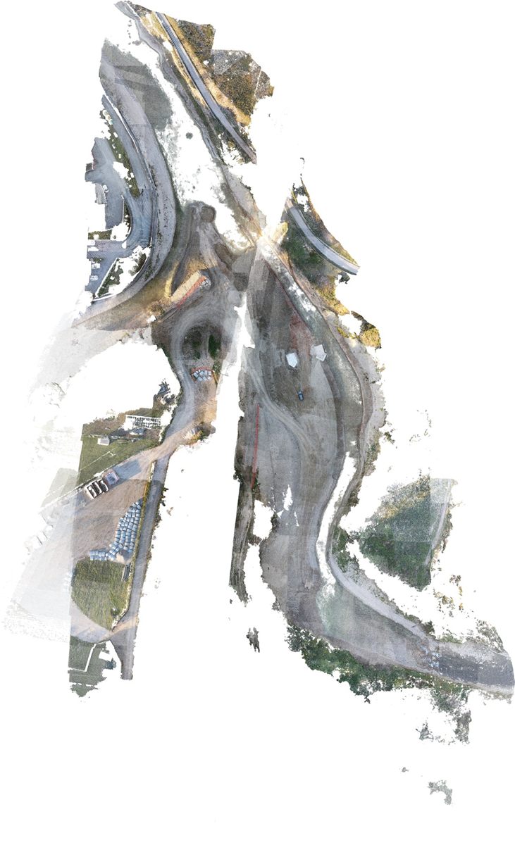
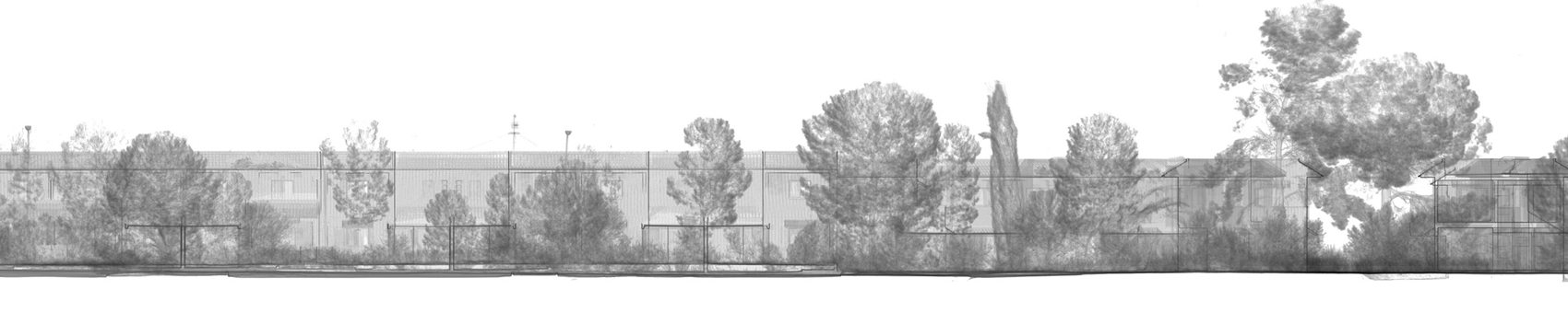
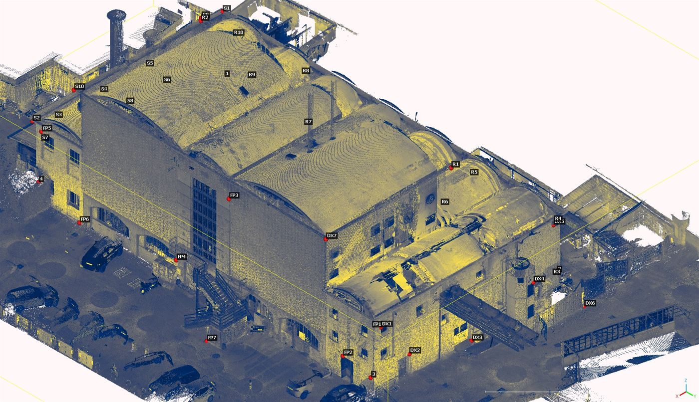
The Trimble X7 laser scanner, with its T10 tablet, captures millions of points of a building or an area in a few minutes and returns a very high-definition point cloud.
Processed with Trimble RealWorks software, the cloud becomes a reliable 3D model for design, for monitoring the progress of works and for reducing survey costs. It is suited to apartment blocks, commercial and industrial buildings, artistic, architectural and archaeological heritage, bridges, roads and viaducts.
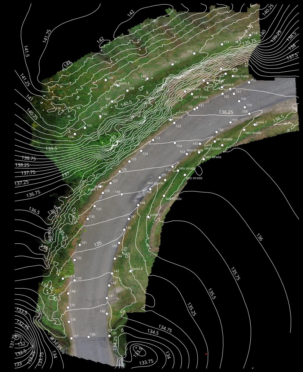
A drone survey quickly collects high-resolution images of an area. With the DJI Mini drone and photogrammetry software we produce orthophotos, 3D models and digital terrain models.
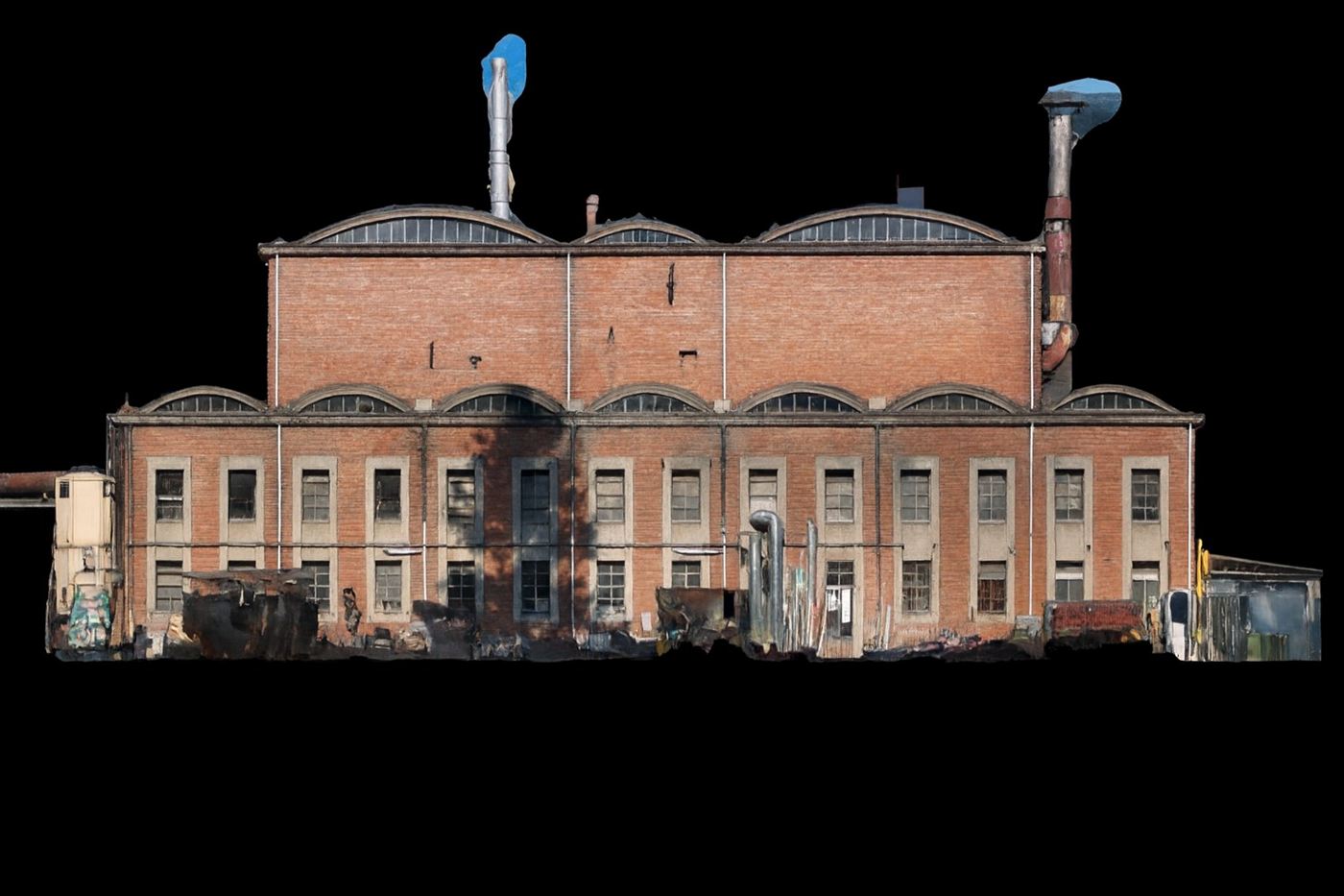
From the Trimble X7 laser-scanner point clouds and from drone surveys we build three-dimensional BIM models of buildings, infrastructure and historic assets.
They are used for design, maintenance management, monitoring the progress of works and documenting the as-built condition.
We collect and manage spatial data in a GIS environment: geological, geomorphological and hazard maps, location of investigations, mapping of landslides and intervention areas. Every item is georeferenced and can be consulted on a map.
We also build geodatabases for data storage: utility networks (sewers, water mains, buried lines), investigations and surveys are organised in georeferenced archives that can be queried and updated over time, in support of the management and maintenance of the works.
Satellite positioning
Topographic surveys and georeferencing of investigations and surveys, with centimetre accuracy.
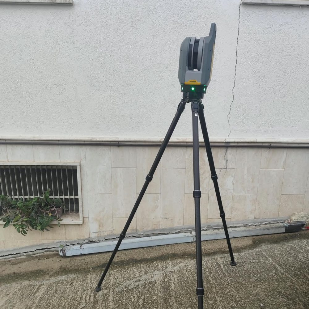
Point clouds
Very high-definition point clouds, 3D models and BIM of buildings and areas.
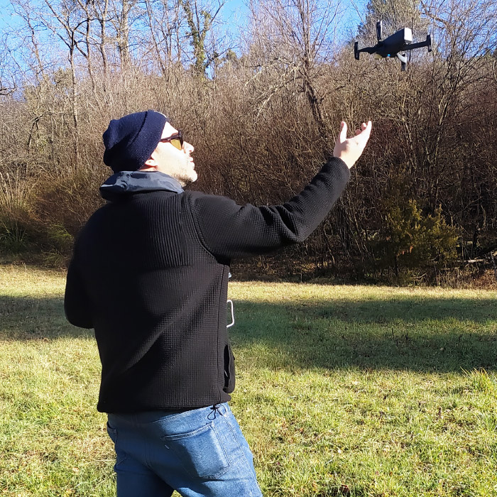
Aerial photogrammetry
Aerial photogrammetry: orthophotos, 3D models and digital terrain models.
Our office is in Ascoli Piceno: we work in the city and the province, in the Marche, Abruzzo and Lazio, and throughout Italy.
Tell us what you need and we will give you the COMPLETE solution.